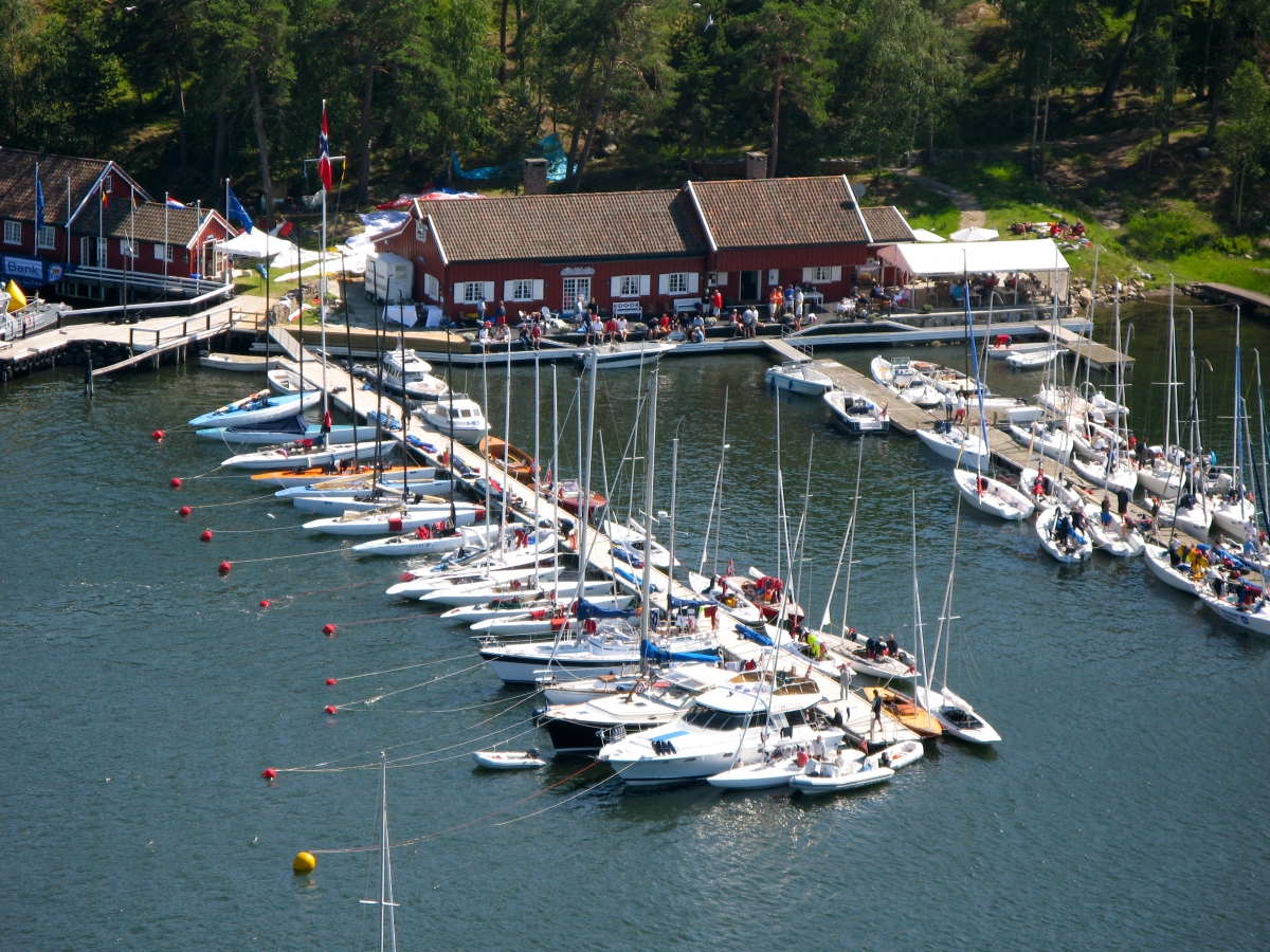
Beliggenhet header

Location

Hankø Yacht Club
Hankø Yacht Club

Information and map

Information and map

Access

Hankø Yacht Club

Hankø Yacht Club is located on Hankø in Fredrikstad municipality, at the far end of Husebukten. Access to the club is by ferry from the town of Vestre Vikane on the mainland (the ferry arrives at the ferry pier at the club), or by own boat.

The club’s position (WGS84): 59.2113°N 10.7865°E (degrees with decimals) or 59°12.678’N 010°47.190’E (degrees and minutes with decimals).

Directions

How to find Hankø Yacht Club

Download (PDF) and print directions to Hankø with additional information about public transport, parking and ferry.

Guide to Hankø and surroundings

Map with descriptions

Click here to find a map of Hankøsundet with a description of service offers, including guest ports.

Docking facilities at Hankø Yacht Club

For members and invited guests

Hankø Yacht Club has modern mooring facilities with three large floating docks equipped with shore power and water along with a few bouys. The facilities are private; the docks and buoys can only be used by members and invited guests. At larger regattas and other events, spaces at the docks may become tight, and the club’s harbor master will then set up a harbor plan and list which boats are to be prioritized according to the club’s harbor regulations. Particularly large and/or heavy vessels may be referred to another mooring place.

Members of KNS, with sailboats flying the KNS flag, are welcome to use the outermost floating jetty after booking in advance on KNS’ website: www.kns.no

If you do not have an invitation from the club or any of its members, you must use other offers for mooring space in Hankøsundet: the guest harbor at Seilerkroa or the guest harbor at Hankø Marina.

Adkomst

Hankø Yacht Club

Hankø Yacht Club ligger på Hankø i Fredrikstad kommune, ytterst i Husebukten. Adkomst til klubben er med ferge fra tettstedet Vestre Vikane på fastlandet (fergen anløper fergeleie ved klubben), eller med egen båt.

Klubbens posisjon (WGS84): 59,2113°N 10,7865°E (grader med desimaler) evt 59°12,678’N 010°47,190’E (grader og minutter med desimaler).

Veibeskrivelse

Hvordan finne frem

Last ned (PDF) og skriv ut veibeskrivelse til Hankø med tilleggsinformasjon om kollektivtransport, parkering og ferge.

Guide til Hankø og omegn

Kart med beskrivelse

Klikk her for å få opp et kart over Hankøsundet med beskrivelse av servicetilbud, inklusive gjestehavner.

Bryggeanlegg ved Hankø Yacht Club

For medlemmer og inviterte gjester

Hankø Yacht Club har et moderne bryggeanlegg med tre store flytebrygger utstyrt med landstrøm og vann. Anlegget er privat; bryggene og bøyene skal kun benyttes av medlemmer og inviterte gjester. Ved større regattaer og andre arrangementer kan det bli trangt om plassene ved bryggene, og klubbens havnesjef vil da sette opp havneplan og liste over hvilke båter som skal prioriteres ihht klubbens havnereglement. Spesielt store og/eller tunge fartøyer kan bli henvist til en annen fortøyningsplass.

Medlemmer av KNS, med seilbåt som er fører KNS-flagg, er velkomne til å benytte den ytterste flytebryggen etter forhåndsbooking på KNS’ hjemmeside: www.kns.no

Har du ikke invitasjon fra klubben eller noen av dens medlemmer, må du benytte de andre tilbudene for bryggeplass i Hankøsundet: gjestehavnen ved Seilerkroa eller gjestehavnen ved Hankø Marina.